Hydrological Modelling
In recent years, Pakistan has faced unprecedented challenges with recurring floods that have devastating consequences for communities, agriculture, and infrastructure. The increasing frequency and intensity of these floods highlight the critical need for proactive measures to mitigate the impact and enhance preparedness. This is where our advanced hydrological modeling approach becomes particularly relevant.
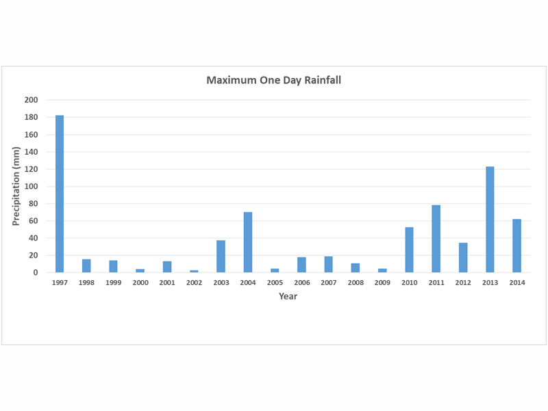
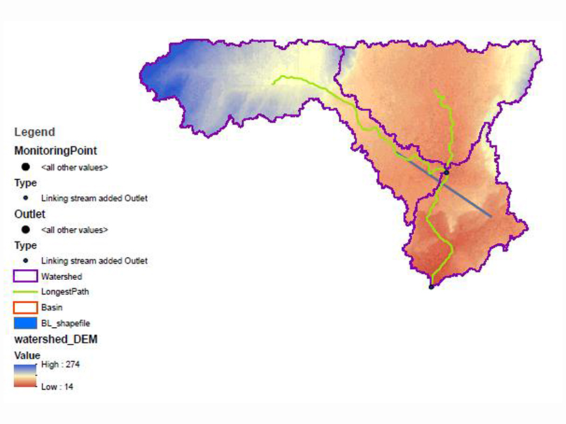
Our hydrological modeling approach employs advanced techniques and modeling software to simulate precipitation, runoff, evaporation, and other relevant factors.
Hydrological modeling extends to predicting flood potential, offering a comprehensive understanding of the areas at risk. This information is crucial for developing early warning systems, evacuation plans, and designing infrastructure that can withstand or mitigate the impact of flooding.
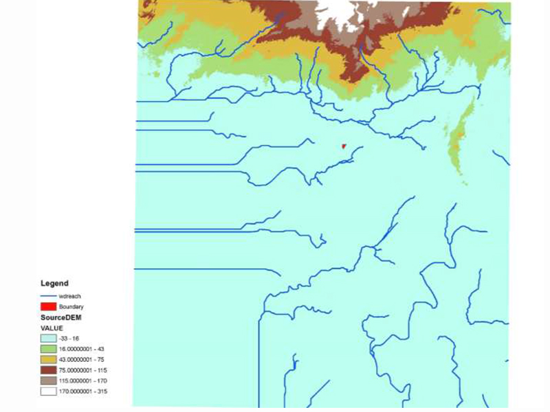
These models are validated through careful calibration and comparison with observed data, ensuring accuracy in predicting water-related phenomena. Whether it’s for flood risk assessments, water supply planning, or environmental impact evaluations, our commitment to precision in hydrological modeling enhances the effectiveness and reliability of projects.